

People forget that the Gold Hill Fire road is more than a path up from Dominican to China Camp.
Gold Hill also has another stretch that drops down from Bayhills all the way into Peacock Gap. It's also seriously steeper in some places than the regular Gold Hill is.
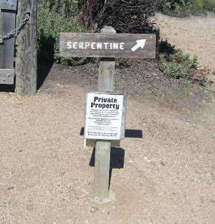
If you're up for a challenge, try rolling up the path on the left. I'll leave that to the younger crowd:

Consequently, unless you're a supreme masochist, it's better to start on North San Pedro and come up over the Nike site, then to the even more hellish hill by Bayhills, and then take the elevator all the way down to P-Gap.
The Nike missile site--what it is on Nov. 19, 2009. Hard to believe this weather. A storm is coming, but not until tomorrow.
View east:

View West:

Me or Popeye, not sure which:

The view back down and north from the top of Hell Hill. It's only 200 feet long and paved, but it gets increasingly steep near the end:

There are a lot of antennas up here . . .

. . . .and apparently the top of the ridge is like an outdoor microwave oven:


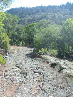
Views of Gold Hill's backside, south of where the more well known section of Gold Hill comes up from Domincan:


That's the ridge you came south over:


China Camp at dusk:

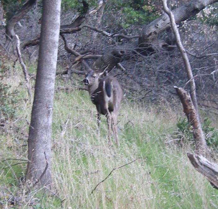
Giant Trail Rat:


 Kent Pump Road goes west from Alpine dam.


