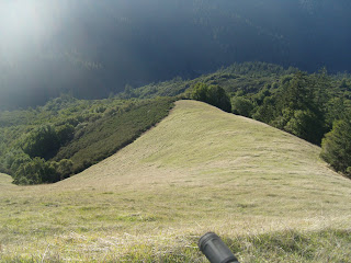
This place seems to conform to no known map or other system of coordinates. These pictures are from somewhere north of SFD and south of Nicasio Reservoid.
Not exactly sure where.


Photos from December 15, 2009. Views from Terra Linda Ridge.
Nothing like a cheery sign to set the tone:
I hope this is a dog's track:

Hetfield's Folly: praise the lord and pass they dynamite:
View to the east, Mt. Diablo in the background:
San Francisco:


December 5, 2009. This is from a test ride of a circuit for a moonlight ride on Bolinas Ridge. Timing is not great--full moon was on the second and it's waning fast. Last chance tomorrow night.
 Right: You shall not pass! The Dark Ones guard the pass to Bolinas Ridge.
The idea was to avoid going up Shafter fire road, which is reserved for only the most dedicated masochists.

And there sure are a lot of hills in this flight plan. They're everywhere!


And of course the welcoming top of Shafter:


 I planned to get up at 6:00 a.m. for this year's ride, but instead regained consciousness at 4:00 a.m. with some kind of very painful ankle problem.
 After somehow assembling the requisite intestinal fortitude, I got myself together and hit the road, starting at 7:30 at the bottom of the Ridge Road in Fairfax.
 It turned out to be a beautiful day, though initially pretty cold in the 40 degree range.
  The circuit was relatively uncrowded early--rangers said hordes were expected around 10.
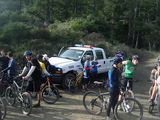
  Riders gather at the Point of No Return, followed by miles of downhill at the back of the loop. I fell pathetically right around the corner of the first run.
 But fortunately my dirt grovel occurred where the attendant crowd did not witness it. I was please not be run over by anyone either.
 A popular crowd spot is the junction where the Pine Lake Loop meets San Geronimo Ridge. By this time it was about 10:00, and people were coming out of the wordwork, including some who rode up out of White Hill or trails from San Geronimo.
 Next stop, the Y intersection on San Geronimo trail--one way to Repack, the other back to White Hill or San Geronimo.
 Riders hanging around the top of Repack.
 Ten minutes later--five for the brave ones--it's all over. . . .

 In the process of failing to find the Devil's Gulch fire road in Samuel P. Taylor Park, I came across a fire road and figured, "what the heck."


